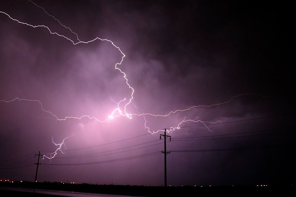
Lucknow, Sep 12 (IANS) The terrifying lightning and thunder phenomenon that Lucknow witnessed in the wee hours of September 11 is the kind never seen before.
Although lightning with thunderstorms are not unusual, the residents of Lucknow faced a harrowing night because of high frequency.
The Met officials said there was lightning for 11 and half hours intermittently from 7.40 p.m. to 7.10 a.m.
However, the India Meteorological Department (IMD) does not have data on the number of lightning strikes between these hours and any previous records.
Atul Kumar Singh, a senior scientist at IMD Lucknow, said that movement of cloud mass is comparatively slower during monsoon.
“Cyclonic circulations over north-west Madhya Pradesh and the monsoon trough was slightly to the south of its normal position due to which there was abundant moisture supply from Bay of Bengal over the state of Uttar Pradesh in the lower troposphere.
“At the same time there was an active western disturbance in the middle troposphere which was interacting with low level easterly due to this synoptic setting up this kind of rainfall activities in Uttar Pradesh,” he explained.
Noted environmentalist Prof Venkatesh Dutta from the Department of Environmental Science at the Babasaheb Bhimrao Ambedkar University, said: “Lightning occurred owing to the fact of intense heating of the Earth’s surface and atmosphere. Such type of extreme weather events undoubtedly reflects the impacts of rising atmospheric temperature and climate change. August was the hottest-ever recorded in Lucknow and Uttar Pradesh, and the heat intensified cloud activities.”
Virendra Singh Yadav, a retired deputy director of the Geological Survey of India, said: “Lucknow and adjoining areas may also experience an increase in the severity and frequency of these incidents in future. Hence, there is a need for prevention, preparedness and to invest in Disaster Risk Reduction (DRR) which will save lives, livestock, property and infrastructure. It is a wakeup call to us by nature.
“Lightning is of three types. The first is thundercloud or intra-cloud lightning. The second is cloud-to-cloud or Inter-cloud lightning and third is cloud-to-ground lightning (CG). The third type of lightning takes a toll on lives and property, and therefore, is of more concern to us. However, inter-cloud and intra-cloud lightning are also dangerous as they may hit aircrafts.
“Its peak power and total energy are very high, with the peak power discharge in the order of a 100 million watts per metre of the channel and the peak channel temperature approaching 30,000 degrees Celsius. Peak currents in a lightning discharge range up to hundreds of kilo amperes (kA) with its typical value being 40 kA.”
Another scientist said: “Owing to global warming, we are observing the increasing number of hot days in a year which, when combined with rain, leads to occurrence of more intense thunderstorms and lightning of greater intensity.”

